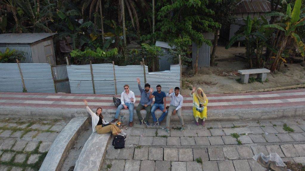
Bangladesh’s densely populated landscape is profoundly influenced by its major rivers—the Ganges, Brahmaputra, and Meghna—that form one of the world's largest deltas. These rivers’ dynamic and morphologically active nature results in significant riverbank and coastal erosion, impacting communities, infrastructure, and ecosystems. Erosion, driven by both natural and human activities, leads to land loss, undermines infrastructure, and heightens flood risks. Despite mitigation efforts by the Bangladesh Water Development Board (BWDB), nationwide erosion forecasting remains limited.
In response, a collaborative project between Bangladesh and the Netherlands is developing the Bangladesh Erosion Monitor (BEM), a tool using satellite imagery to monitor erosion across the country. This initiative, led by Bangladesh's Institute of Water Modelling (IWM) and the Netherlands' Deltares, focuses on equipping BWDB with a data-driven tool for erosion assessment. It emphasizes both technological innovation and capacity building, aiming to enhance risk management in the Ganges-Brahmaputra-Meghna delta region.
The BEM analyses Landsat imagery from 1988 to 2023, enabling users to generate maps that illustrate historical trends in erosion and sediment deposition.
The BEM evaluates the economic impact of historical erosion within specified administrative boundaries by integrating ESA WorldCover data with local land value estimates.
The BEM predicts short-term erosion susceptibility by analyzing historical riverbank line data, delivering estimates for every 200-meter segment of the riverbank.
In the event of embankment breaches, the BEM generates flood inundation maps and assesses flood risk by integrating modelled water levels with elevation data.


A series of workshops have been carried out to inform the community about the tool and to collect feedback regarding the community’s take on river erosion issues. These have highlighted the need for proper planning and timely response regarding riverbank erosion.


Field validation visits were carried out by the joint team of IWM and Deltares in May and June 2023, and March 2024. The team visited different erosion-prone areas where they completed visual inspections and questionnaires for local residents on erosion impacts and community responses. The BEM tool effectively identified areas of erosion and sedimentation, confirming its utility. However, discrepancies were noted in areas where recent BWDB armouring projects had altered the landscape.


Transfer of knowledge is one of the main objectives of the project. A series of training sessions have been held in Bangladesh and The Netherlands focusing on the use and development of the BEM. Some of the technical people involved in the training include officials from the BWDB Planning, Design, and Flood Forecasting Warnging Center; officials from the BWDB Maradipur field office; and IWM staff.
“The response to riverbank erosion lacks proper planning. The response is based on mostly lobbying, rather than science based.”
– Jahanara Khanom, Primary school teacher, Alipur
“I am rebuilding my home for the seventh time after six of my previous homes eroded away. With the science-based BEM tool, we now can show traces of erosion to the authorities in charge.”
– Alauddin
Sarker, Ex-member, Alipur Village.
“My grandfather had to shift his house 15 times due to erosion and through him I know the sufferings of the people affected by riverbank erosion. I hope the BEM tool would reduce the sufferings of the
community.”
– Lipi Mondal, Primary School Teacher, Dhurail Union
“A famous high school, a renowned madrasa, countless structures of Alipur Village had washed away due to riverbank erosion. I hope through this tool the response of the riverbank erosion will be streamlined.”
– Md Ali, Ex- Army Official, Alipur Village.
The BEM represents a notable advancement in erosion monitoring at a national scale, providing critical insights to support decision-making across applications from infrastructure planning to emergency response. As the project develops, the BEM is expected to contribute to environmental science, risk management, and policy formulation.
Currently optimized for major rivers, the BEM’s 30-meter resolution presents limitations for monitoring smaller rivers. Future enhancements include refining the algorithm with updated Landsat imagery and integrating higher resolution data from Copernicus Sentinel-1 and -2 to increase resolution in smaller watercourses. Additionally, plans to incorporate factors such as soil properties and flow rates aim to improve the accuracy of the erosion prediction module.

